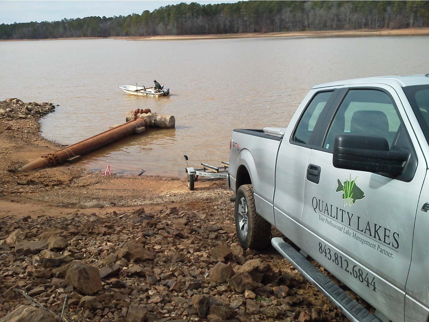
Lake Mapping
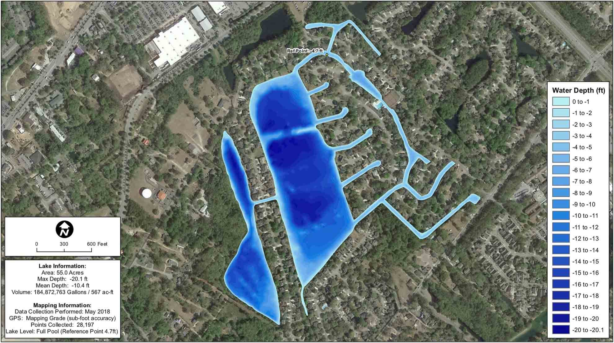
Bathymetric Lake Maps
QLI has been conducting lake bathymetry since 2008 as an exclusive partner with The Mapping Network. Our bathymetry complies with U.S. Army Corps of Engineers protocol for data collection. Data and bathymetry maps can be used for volume/storage calculations, identification of sediment input areas, sediment volume estimates (imperative for dredging needs and cost estimates), pre- and post-dredging assessment, aquatic vegetation assessments, and for recreational boating navigation.
Planning that special pond or lake?
QLI can aid in designing your dream lake by incorporating shoreline and lifestyle features, fishing and recreation goals into a design that can be provided to a qualified lake construction professional.